

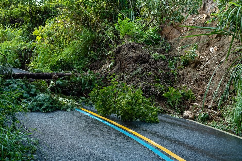
Geological assessments across Sri Lanka have pinpointed more than 30,000 locations highly susceptible to landslides, underscoring the extensive vulnerability of the island nation’s terrain to slope instability.

The classification of over 30,000 distinct hazard zones highlights the geographic scale of landslide risks, particularly in regions subject to heavy precipitation and vulnerable soil conditions. Identifying these specific areas is a vital component of disaster risk reduction, informing local safety measures, regional zoning regulations, and emergency preparedness protocols.
Key Developments
- More than 30,000 locations across Sri Lanka have been identified as vulnerable to landslides.
- The mapped locations provide critical baseline data for disaster mitigation, early warning operations, and infrastructure safety.
The vast number of identified high-risk zones emphasizes the ongoing need for targeted environmental monitoring, proactive land management, and coordinated disaster response mechanisms to safeguard communities situated in topographically vulnerable sectors.