
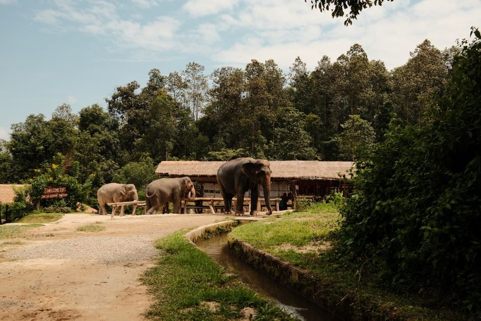
The Cabinet has formally approved a proposal to designate 682 hectares of land in the Galgamuwa Divisional Secretariat Division in Kurunegala as the Nakolagane Wildlife Sanctuary under the Fauna and Flora Protection Ordinance.

The declaration follows a directive from the Supreme Court ordering that the entire region—spanning approximately 55 hectares of cleared land alongside remaining forest tracts—be protected as a sanctuary or an elephant management reserve under Section 2(2) of the Ordinance. The area, which spans nearly 1,500 acres, had stood forested for a long period before several private companies moved in to utilize sections of the landscape for commercial crop cultivation, mineral mining, and soil excavation.
The commercial exploitation prompted multiple environmental organisations to petition the Supreme Court to stop the ongoing forest clearing. The petitioners contended that the commercial operations caused severe environmental degradation and significantly worsened the human-elephant conflict in the North-Western Province.
Key Developments
- Formal Cabinet approval granted to declare 682 hectares in the Galgamuwa Divisional Secretariat Division as the Nakolagane Wildlife Sanctuary.
- Compliance with a Supreme Court order mandating protection for both remaining forest areas and roughly 55 hectares of previously cleared land under Section 2(2) of the Fauna and Flora Protection Ordinance.
- Action initiated following environmental petitions against private company crop cultivation, soil excavation, and mineral mining that intensified the North-Western Province’s human-elephant conflict.
- Boundaries demarcated through a joint survey by the Survey Department and the Department of Wildlife Conservation.
- Coordination with the Irrigation Department to establish perimeter boundaries based on the maximum water level of the adjacent Palukadawala Tank.
In response to the judicial order, the Survey Department and the Department of Wildlife Conservation conducted a joint survey that established the 682-hectare perimeter. The proposal was subsequently brought to the Cabinet by the Minister of Environment, receiving formal approval with the concurrence of the Irrigation Department, while ensuring the demarcated boundaries account for the maximum water level of the nearby Palukadawala Tank.